| This article is incomplete. Please help improve the article, or discuss the issue on the talk page.
|
US-Tennessee Custom Scenery| Started in |
2019-Mar |
|---|
| Description |
New scenery for Tennessee, USA |
|---|
| Contributor(s) |
Scott Giese |
|---|
| Status |
Active |
|---|
Motivation
My home state, where I do most of my flying.
Objective
Produce high quality scenery using the best known practices.
Metric Objectives:
- Split the state into four zones: West, West-Central, East-Central, East
- Base Mesh Node Quantity: 60,000 nodes
- Base Mesh Error Tolerance: 3 meters
- Shapefile Complexity: ~2,000,000 nodes or less
- Shapefile Tolerance: 27 meters
- Shapefile Minimum Area: 6000 square-meters
Background
Data Sources:
- Demographic Data: SRTMGL1.003
- Land Cover Data: NLCD
- River & Stream, Cemetery, Quarry, Railroad: OpenStreetMap
- Buildings, Roads, Bridges: osm2city based on OpenStreetMap
- Obstruction Data: FAA DOF
- Airports: X-Plane Scenery Gateway via xplane_airports service
Status
| US-Tennessee West |
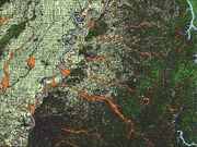 West Shapefiles West Shapefiles | West Shapefiles
|
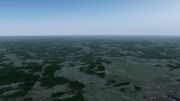 KMKL - Jackson, TN KMKL - Jackson, TN | KMKL - Jackson, TN
|
|
West:  Paused
| US-Tennessee West-Central |
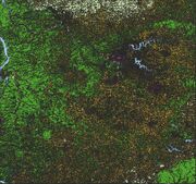 West-Central Shapefiles West-Central Shapefiles | West-Central Shapefiles
|
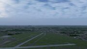 KBNA - Nashville, TN KBNA - Nashville, TN | KBNA - Nashville, TN
|
|
West-Central: Paused
| US-Tennessee East-Central |
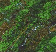 East-Central Shapefiles East-Central Shapefiles | East-Central Shapefiles
|
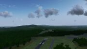 KRKW - Rockwood, TN KRKW - Rockwood, TN | KRKW - Rockwood, TN
|
|
East-Central: Paused
| US-Tennessee East |
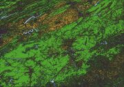 East Shapefiles East Shapefiles | East Shapefiles
|
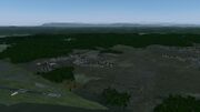 KDKX - Knoxville, TN KDKX - Knoxville, TN | KDKX - Knoxville, TN
|
|
East: Paused
| TN-West Airports |
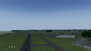 M01 Airport M01 Airport | M01 Airport
|
|
News / Updates
Changelog
Gallery
Roadmap
Template:Roadmap
Related



 Done
Done Not done


