
Americas Scenery
Custom scenery covering all of the Americas (and some islands politically or geographically associated with them including Greenland, Iceland, Bermuda, the Falklands/Malvinas, the Galapagos, the Hawaiian Islands, Easter Island, and the South Sandwich and South Georgia Islands). You can download using a (zoomable) map here:
https://davidmegginson.github.io/fgfs-scenery-build/
This scenery has detailed coastlines and waterways, together with basic roads, railroads, and powerline rights-of-way, all from OpenStreetMap (to be supplemented by osm2city). The airports come from a more-recent snapshot of the X-Plane Scenery Gateway, so they are more up-to-date than the ones in the default FlightGear distro, and there are many more of them. It was begun in 2022, and version 1.0 was released in January 2024.
Adding 3D models and osm2city
To make 3D models and osm2city (roads, buildings, and powerlines) appear, you need to run a script once after installation to generate symbolic links to the TerraSync scenery. For Unix-based operating systems (like Linux or MacOS), run gen-symlinks.sh once from the directory where it appears; for Windows, run gen-symlinks.bat (not tested, since the scenery creator does not use Windows). You will also need to have TerraSync enabled to that the models get downloaded and updated.
Gallery
-
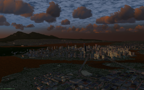 Downtown Vancouver BC at dusk, facing north, with Kitsilano in the foreground and Stanley Park on the left.
 -
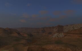 The Grand Canyon, Arizona, USA.
 -
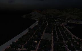 Flying over Ipanema, Rio de Janiero at night.
 -
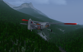 SAR DHC-3 Otter flying through the Rocky Mountains near Jasper AB (CYJA).
 -
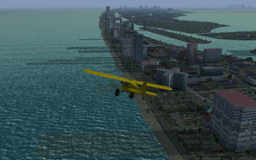 Piper Cub flying along Miami Beach on a hazy afternoon.
 -
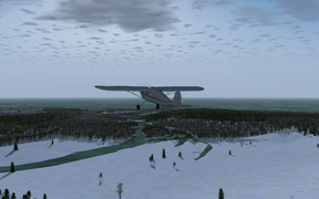 Cessna 140 approaching a frozen-over Georgian Bay (Lake Huron) in winter, near Goderich ON (CYGD).
 -
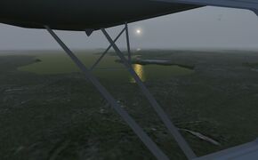 The Falklands/Malvinas in the South Atlantic.


