
File:Canvas-mfd-framework-prototyping.png
Size of this preview: 800 × 421 pixels. Other resolution: 1,031 × 543 pixels.
Original file (1,031 × 543 pixels, file size: 189 KB, MIME type: image/png)
Summary
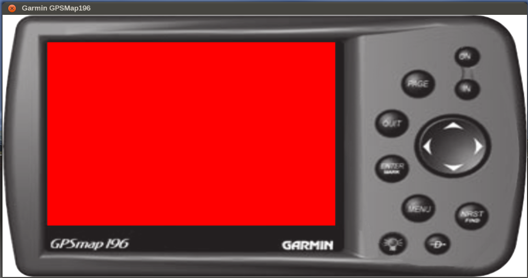
| Description | (en) This is an adapted version of the Garmin GPSMap 196 that is currently being developed by F-JJTH. Here, the whole instrument is entirely set up in XML space, including buttons/event handling, but also the embedded canvas region that serves as the 'screen'. For details, please see Canvas Glass Cockpit Efforts. |
| Date | 7 June 2014 , 23:04:19 |
| Source | Own work |
| Author | Hooray |
Licensing
|


File history
Click on a date/time to view the file as it appeared at that time.
| Date/Time | Thumbnail | Dimensions | User | Comment | |
|---|---|---|---|---|---|
| current | 21:05, 7 June 2014 | | 1,031 × 543 (189 KB) | Hooray (talk | contribs) | User created page with UploadWizard |
You cannot overwrite this file.
File usage
The following 7 pages use this file:
